
3D Printing Science logo3D PRINTING
SCIENCE
All grades & subjects

Elementary school / Texas TEKS

5th Grade Science

Landforms & changes to Earth’s surface

Classroom tools

4 products
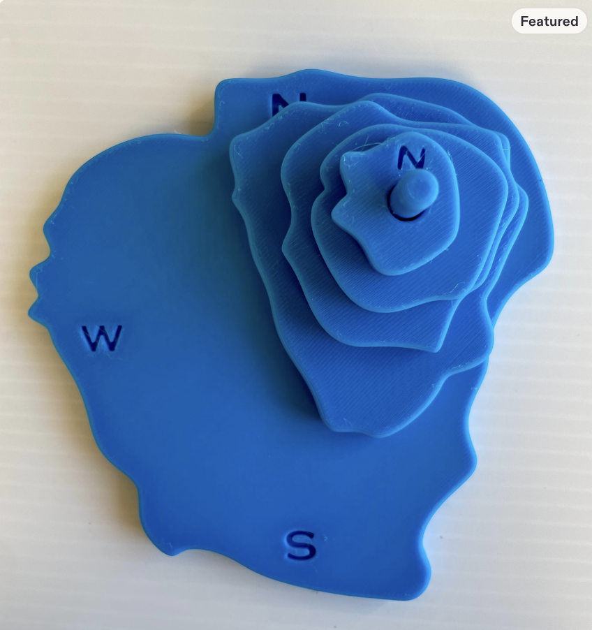
Blue layered topographic map with compass directions

Bestseller

Topographic Map C

Product details & bulk quote
TEKS 5.10(C)Supplemental connection

Model and identify how wind, water or ice form landforms including deltas, canyons and sand dunes.

Static terrain supports landform visualization but not causal process modeling. Pair with wind, water and ice investigations and suitable examples.

Supports spatial reasoning and interpretation of terrain, contour intervals, elevation, and three-dimensional landforms.

Shop on Etsy
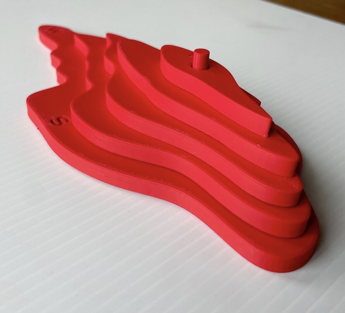
Red 3D topographic map A model assembled from five contour layers with a central alignment peg and debossed compass letters

Earth & space science

Topographic Map A

Product details & bulk quote
TEKS 5.10(C)Supplemental connection

Model and identify how wind, water or ice form landforms including deltas, canyons and sand dunes.

Static terrain supports landform visualization but not causal process modeling. Pair with wind, water and ice investigations and suitable examples.

Helps students interpret contour lines, elevation changes, and landform shapes using topographic representations.

Shop on Etsy
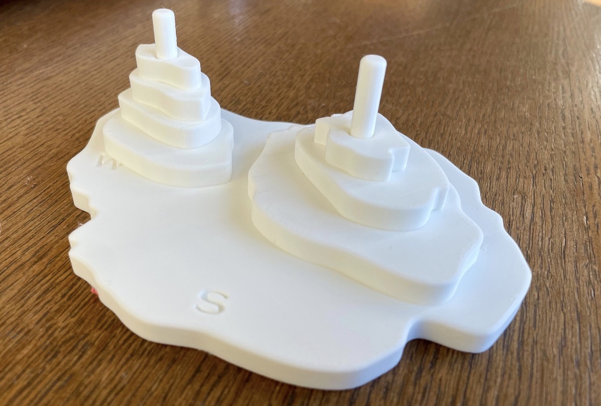
White two-peak topographic map B model assembled from stacked contour layers with two alignment pegs and debossed compass letters on a wooden table

Earth & space science

Topographic Map B — White

Product details & bulk quote
TEKS 5.10(C)Supplemental connection

Model and identify how wind, water or ice form landforms including deltas, canyons and sand dunes.

Static terrain supports landform visualization but not causal process modeling. Pair with wind, water and ice investigations and suitable examples.

Helps students interpret topographic contours and investigate how variations in elevation and terrain are represented on maps.

Shop on Etsy

Earth & space science

Topographic Map B — Black

Product details & bulk quote
TEKS 5.10(C)Supplemental connection

Model and identify how wind, water or ice form landforms including deltas, canyons and sand dunes.

Static terrain supports landform visualization but not causal process modeling. Pair with wind, water and ice investigations and suitable examples.

Helps students interpret topographic contours and investigate how variations in elevation and terrain are represented on maps.

Shop on Etsy

Current science TEKS, implemented in 2024–2025. Connections are lesson-specific, not a claim that a product covers an entire standard. Instructional support identifies a modeling or calculation practice, not a direct content match. Standard descriptions are paraphrased.

Official TEA science standards

More from the print shop

See the full collection on Etsy.

Visit the shop