
Earth & space science
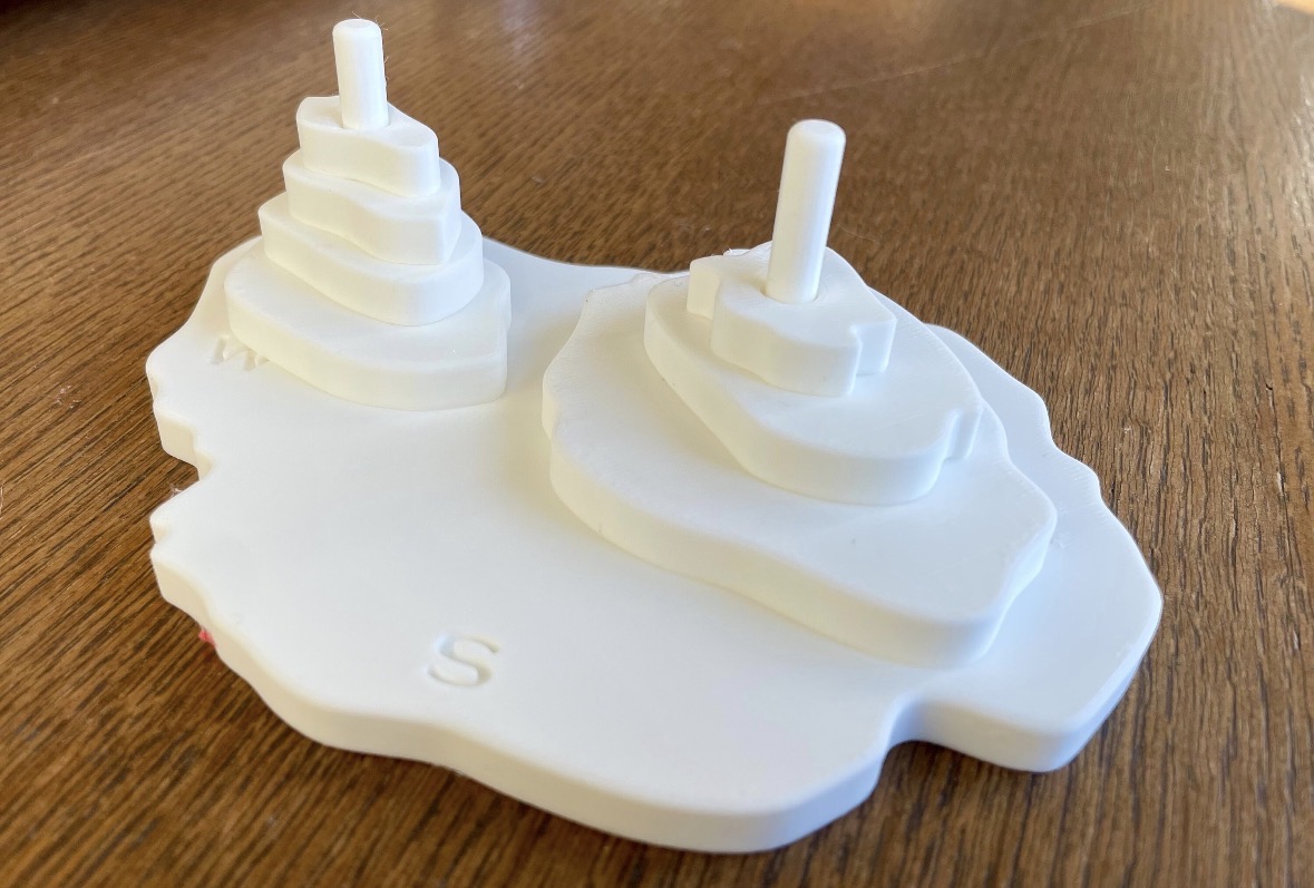
Topographic Map B — White
Supplemental TEKS: 5.10(C) · 6.1(G) · 7.1(G) · 8.1(G)
Helps students interpret topographic contours and investigate how variations in elevation and terrain are represented on maps.
Curriculum connections
Direct connections address a component of a standard, not the entire expectation. Supplemental connections support instruction or extend a lesson. Summaries are paraphrased from current official TEA standards.
Elementary school
5th Grade Science
Model and identify how wind, water or ice form landforms including deltas, canyons and sand dunes.
Static terrain supports landform visualization but not causal process modeling. Pair with wind, water and ice investigations and suitable examples.
Middle school
6th Grade Science
Develop and use models representing phenomena, systems, processes or engineering solutions.
Use a layered terrain model as enrichment. Contour-map reading is not a direct content requirement in this modeling practice.
7th Grade Science
Develop and use models representing phenomena, systems, processes or engineering solutions.
Use a layered terrain model as enrichment. Contour-map reading is not a direct content requirement in this modeling practice.
8th Grade Science
Develop and use models representing phenomena, systems, processes or engineering solutions.
Use a layered terrain model as enrichment. Contour-map reading is not a direct content requirement in this modeling practice.